Math Activity: Mapping
Math Enrichment Activity
This activity could take place in the museum or in the classroom. It is differentiated so educators can decide how best to adjust the level of instruction to fit students' abilities.
Objective: Students will become familiar with vocabulary (quadrant, axis) and measuring distance. Students will estimate and calculate area. They will measure distance between two points and determine distance using scale.
Elementary: Identify Quadrants and Axis
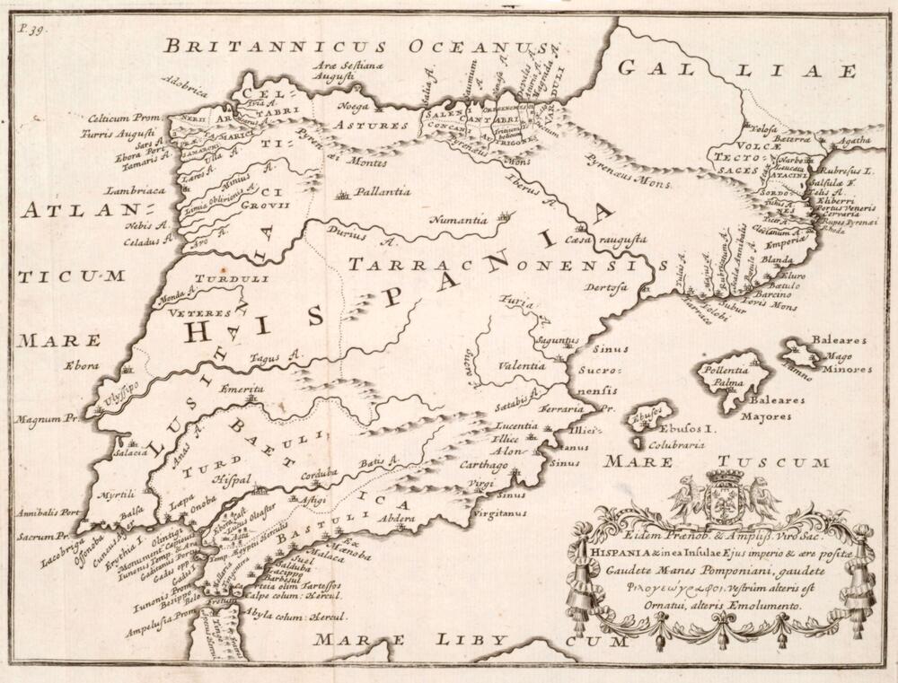
1. Present students with a map, such as the Map of Hispania, or a map of your city or school. Ask students to find a geographical feature, such as an island, a mountain, or a specific street.
2. Divide the map into quadrants with axes, highlighting vocabulary. Quadrants are labeled in counter-clockwise order, beginning in the top right quadrant.
3. If you have copied the map, ask students to also divide the map into quadrants. In pairs, ask students to locate different landmarks and discuss how quadrants make it easier to plot and locate points.
4. After labeling quadrants, students may begin to measure distance using different units (paperclips, steps). Possibly discuss how early units of measure were based on human units (foot, cubit). Ask students to calculate the distance between two points in different quadrants using different units of measure.
Middle: Measure Distance and Scale
1. Review calculation of area. Sometimes we need to estimate the area of a country or building in order to get an idea of how long a trip will take, or how much flooring we need to buy, etc.
2. Give students the formula to calculate area of 2D figures. Ask them to place the shapes within the desired area and approximate the area.
3. Then ask students to measure the distance between two points (cities, structures) on the map and calculate distance using scale. Draw the connection between the map and finding distance on a graph.
Extension 1: For an extension of the area estimation activity, place constraints on students such as using one of each shape within the total area (ex. one trapezoid, one circle, one triangle) and then add values together to arrive at total area.
Extension 2: Students first estimate the area based on shapes and then calculate the actual area. Compare the difference and discuss how closely they were able to approximate area.
High School: Trigonometry
1. Propose that you are a pilot and need to travel from one city to the next. You begin at one city and soon discover that you are off course. Calculate through which angle you need to change route to arrive at your destination. Ex: If you are traveling at 100 miles per hour and have been flying for 2 hours, at what angle do you need to turn to reach the second city?
Created For
K-12 EducatorK-12 Student
Museum Visitor
UMMA Docent
UMMA Staff
University Faculty
University Student
Rate this Resource
AVG: 0 | Ratings: 0
& Author Notes
Creative Commons by-nc-saLast Updated
May 16, 2017 2:37 p.m.Report
Reporting Policy
